FORT SOUTHWEST POINT
KINGSTON, TN

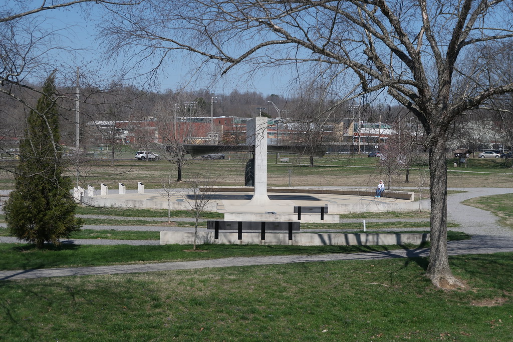
FORT SOUTHWEST POINT is a historic fort located in Kingston, Tennessee. It was built in 1792 by the United States government to protect the western frontier during the early years of the nation. The fort was built as a triangular earthwork and was situated at the confluence of the Clinch and Tennessee Rivers. The fort was designed to be a defensive position with two blockhouses, two interior barracks, and several outbuildings.
The fort was home to the 2nd Regiment of the United States Infantry. During its early years, the fort served as an important trading post for the region. It was also a stop for travelers and soldiers on their way to the frontier. It was also used as a staging area for the Battle of Horseshoe Bend in 1814.
FORT SOUTHWEST POINT was abandoned in 1815 and most of the original structures were destroyed. It was later used as a Civil War encampment during the years of 1861-1862. In 1935, the fort was reconstructed by the Civilian Conservation Corps, and is now a popular tourist destination. The fort has been partially restored and is open to the public. It includes a museum and interpretive center, as well as a picnic area and nature trail. It is listed on the National Register of Historic Places and is an important part of Tennessee's history.
FORT SOUTHWEST POINT is a Historical Societies, Historic Preservation in KINGSTON TN. US MID #8404700076
The museum is classed as HSC (Historical Societies, Historic Preservation). It comes under American Alliance of Museums (AAM) region: Southeastern (Alabama, Arkansas, Florida, Georgia, Kentucky, Louisiana, Mississippi, North Carolina, South Carolina, Tennessee, Virginia, West Virginia).


Contact FORT SOUTHWEST POINT
- telephone: 8653763641
- website: http://www.southwestpoint.com
FORT SOUTHWEST POINT
1226 S KENTUCKY ST
KINGSTON
TN
37763
Disclaimer: please note this database is maintained by volunteers and whilst we endeavour to do our best, we cannot guarantee the accuracy of the listing.
If you notice any errors or omissions in the listing, please let us know in the comments section below.
Find more KINGSTON TN Museums
What 3 Words
///giraffe.obstacle.fusion. Near Kingston, Tennessee
Map of FORT SOUTHWEST POINT
FORT SOUTHWEST POINT Information
| MID # | 8404700076 |
| Name | FORT SOUTHWEST POINT |
| Alternate Name | |
| Classification | Historical Societies, Historic Preservation, , Southeastern |
| Federal Employer Identification Number (EIN) | |
| NTEECC | |
| Tax period of the latest return filed (YYYYMM) | |
| INCOME | 0 |
| REVENUE | 0 |
| LAT/LONG | 35.843649, -84.498536 |
| CODES | FIPS State Code: 47 FIPS County Code: 145 US Census Tract: 030202 US Census Block: 2011 |